AI summaryPretrains on diverse geophysical data and adapts to forecasting weather, ocean waves, air quality and tropical cyclone tracks, exploring a foundation model for multiple Earth-system tasks.
AI summaryDiscusses numerical stability, workflow transparency and differences in computing resources, and proposes a framework for assessing and supporting reproducibility in hybrid Earth system models.
AI summaryExamines connections between weather forecasting and climate modelling, including unresolved issues in physical consistency, generalisation, transparency and computational cost.
Weather and climateCross-scale modellingPhysical consistency
AI summaryThe Quake Neural Operator jointly detects and locates seismic events through classification and regression without explicit phase picking, supporting monitoring across different station geometries.
AI summaryProposes 11 features of an ideal Earth foundation model, including multisensor integration, awareness of location and scale, and physical consistency, and discusses evaluation and research directions.
AI summaryReviews the development of mineral resource prediction and discusses combining geological knowledge, big data and AI. Examples from covered areas, deep exploration and porphyry copper knowledge graphs illustrate linked-system modelling and human–AI collaboration.
AI mineral explorationMineral predictionNonlinear theoryKnowledge graphs
AI summaryLearns from ocean-model data at multiple depths to emulate temperature, salinity, currents and sea-surface height. Long integrations are stable in the study, while responses to trends in external forcing remain limited in amplitude.
AI summaryPretrains on diverse geophysical data and adapts to forecasting weather, ocean waves, air quality and tropical cyclone tracks, exploring a foundation model for multiple Earth-system tasks.
AI summaryTakes observations directly as input and produces global gridded and local station forecasts, connecting several stages of weather prediction in a trainable system.
AI summaryProposes a workflow that embeds geological domain knowledge in input data, model design and output interpretation to address interpretability, generalisation and physical consistency in AI-based mineral prospectivity mapping.
AI summaryCombines a differentiable dynamical core with neural-network parameterisations to study weather forecasting and climate simulation, including physical consistency over long integrations.
AI summaryUses learning across watersheds to forecast extreme floods in ungauged basins and evaluates reliability across regions and lead times, addressing forecasting needs where observations are scarce.
AI summaryIntegrates prior geological knowledge into an adversarial autoencoder to identify geochemical anomalies associated with tungsten mineralisation in southern Jiangxi. Multifractal singularity analysis quantifies relationships between ore-controlling factors and known deposits to inform the model.
AI summaryReviews how differentiable computation can jointly train physical components and neural networks to support process understanding, parameter estimation and geoscientific prediction.
AI summaryIntroduces a three-dimensional architecture for Earth data and hierarchical temporal aggregation, improving medium-range forecasts under the study’s reanalysis-based evaluation and reducing iterative errors.
AI summaryTrains machine-learning models on zircon chemistry to distinguish tectonic settings and magma types, then applies them to Hadean zircons from Jack Hills. The results provide clues to early crust formation and subduction-related sediment recycling.
AI summaryECMWF presents a flow-matching model that turns forecasts with coarse spatial and temporal resolution into finer hourly sequences and explores coupling it with a separately trained forecasting model.
AI summaryA two-stage training approach addresses the shift between reanalysis data and operational weather forecasts, exploring how machine learning can complement global hydrological forecasting.
AI summaryECMWF announces the operational launch of IFS Cycle 50r1 and AIFS v2. The AIFS update adds data-driven forecasts of ocean waves and snow cover.
AI summaryNASA reports that researchers deployed and demonstrated the Prithvi geospatial model on two platforms in orbit, exploring Earth-observation data analysis directly in space.
Geo Intelligence is an independent information hub for Earth scientists and AI practitioners, exploring how artificial intelligence helps us understand, observe and predict our planet.
Translation policy
Titles appear in their original form when their language matches the selected version. Otherwise, the translated title is marked “Machine translation”, with the original displayed directly below. The same rule applies in both directions. Source links, journal names and publication dates are preserved.
An “AI summary” is a brief synthesis of the source, not the authors’ abstract or a full translation. Translations aim to preserve the original meaning. Consult the source for terminology, methods and the scope of research findings.
The initial collection was manually selected and its sources checked. Newly collected records are published after editorial review. Where a translation is unavailable, the original title is shown and labelled. Dates refer to online journal publication or the institution’s release.
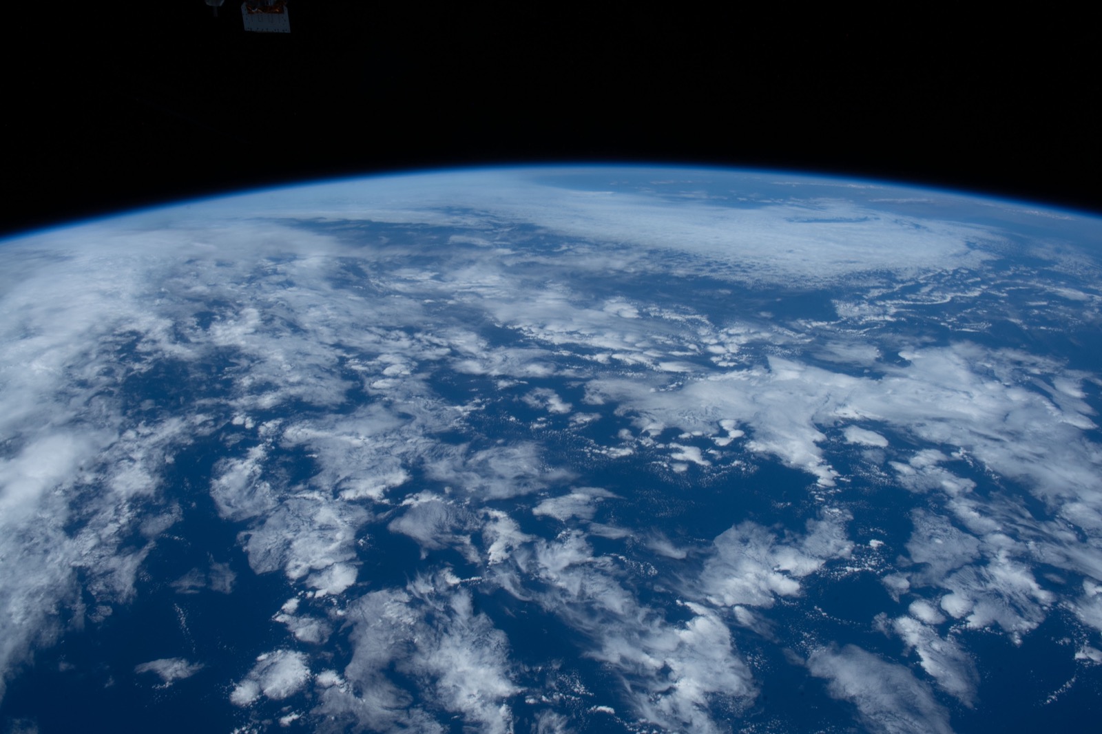
Earth photographed from the International Space Station on 28 May 2022, used as an illustration of Earth science. Image courtesy of the Earth Science and Remote Sensing Unit, NASA Johnson Space Center. ISS067-E-83835.